About us
A brief description about us
Author: osmkerala
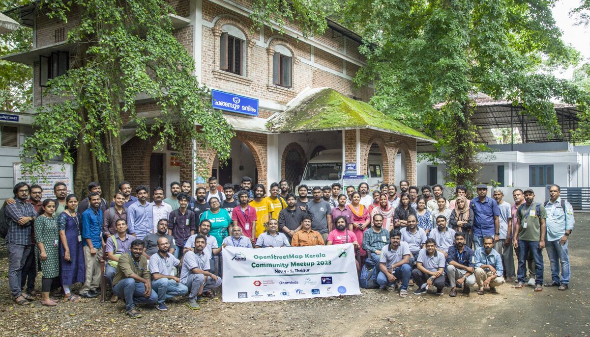
We are a passionate group of individuals who share a deep love for maps and are committed to keeping geospatial data open and accessible. Our involvement with OpenStreetMap (OSM) in India began in earnest in 2007. Over the past 13 years, the OSM Kerala Community has played a pivotal role in promoting and enhancing OSM data in the region.
Our Contributions
- The OSM Kerala Community has been actively mapping various geographic features for more than a decade.
- During the devastating floods of 2018, OpenStreetMap was extensively used to provide critical geospatial information for disaster response efforts.
- We have consistently engaged with a diverse range of partners to further our mission
Areas of Focus
Boundaries
- State Boundaries
- District Boundaries
- Taluk Boundaries
Political
- Lok Sabha Constituencies
- Assembly Constituencies
Local Govt Bodies
- Local Bodies in KeralaYes check.svg
- Local Bodies Wards in Kerala
Environment
- Rivers
- Lakes
- Reservoirs
- Lagoons and Estuaries
- Water Streams
- Ponds
- Forests
Roads
- National Highway
- State Highway
- Major District road
Railways
- Railways Stations
- Kochi Metro
- Proposed Silverline (K-rail)
Amenity
- Police station
- Fire and Rescue station
- Health Facilities in Kerala
Activies
- Mapathons
- Webinars